By Caroline Jeranek | Development Manager
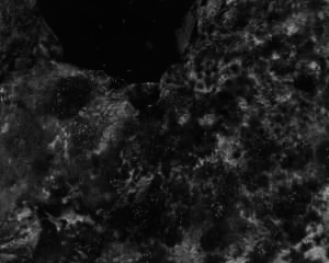
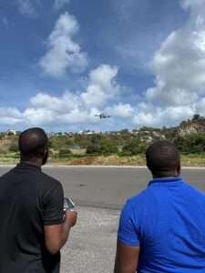
Local conservation partners recently completed a drone monitoring training that is strengthening the work of the Grenadines Seabird Guardians. Led by GIS specialist Mr. Cornelius Lyttle, the training built local skills in using aerial imagery to study remote seabird nesting habitats.
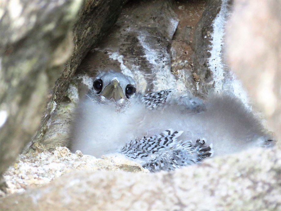
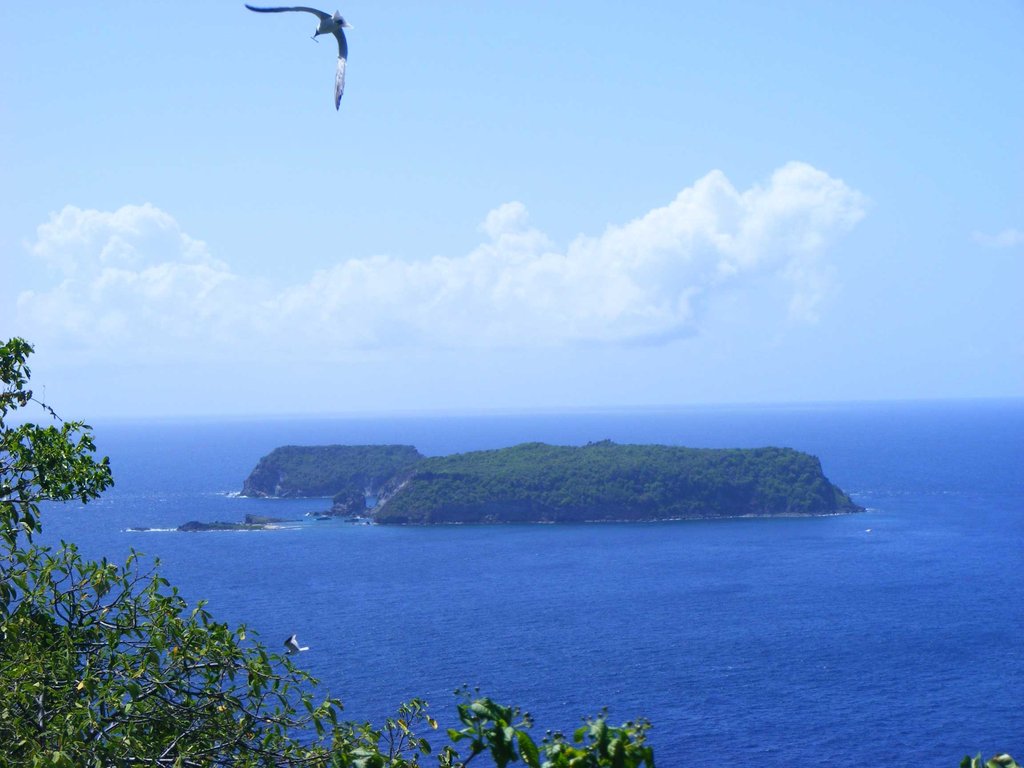
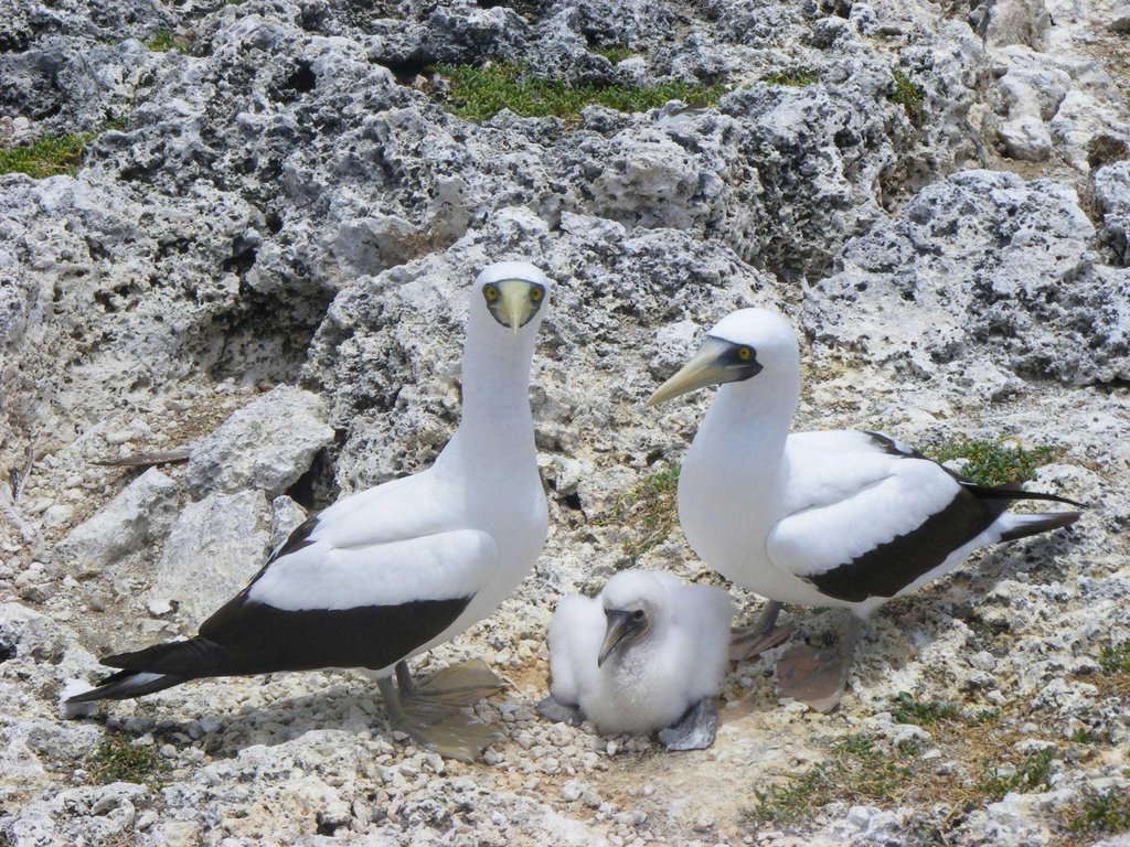
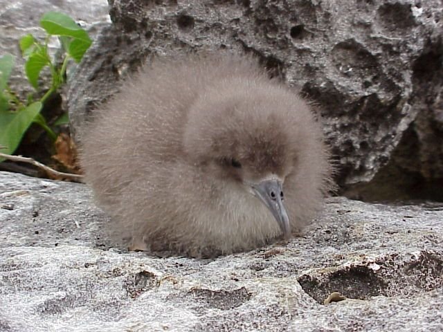
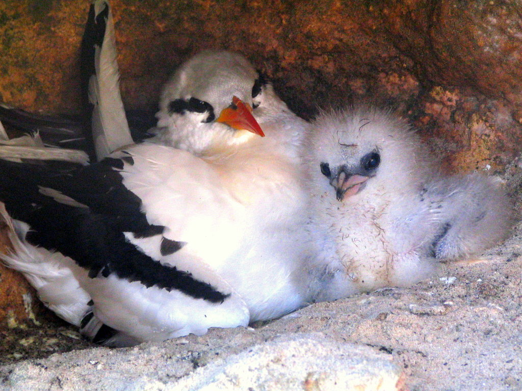
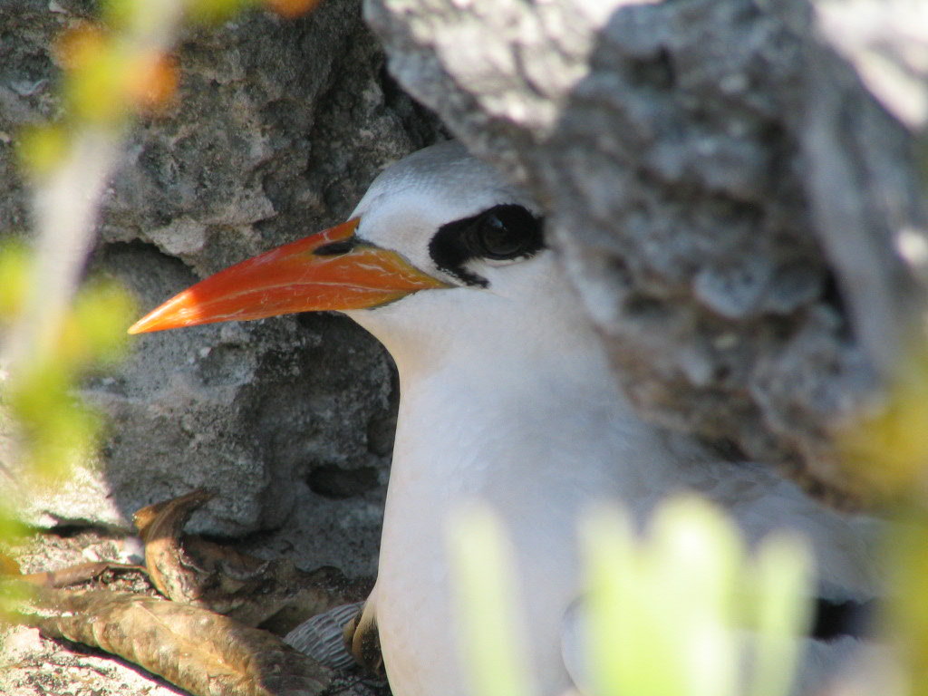
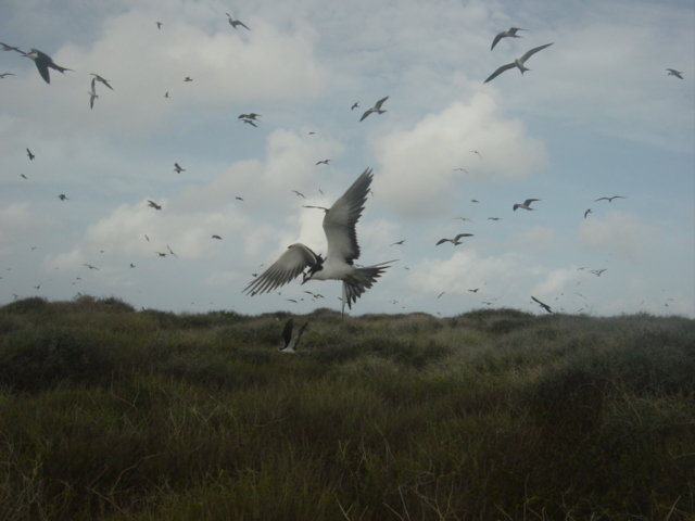
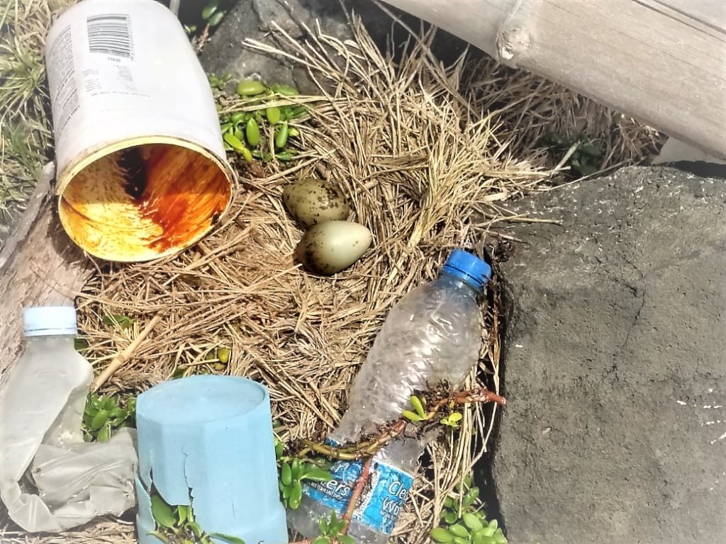
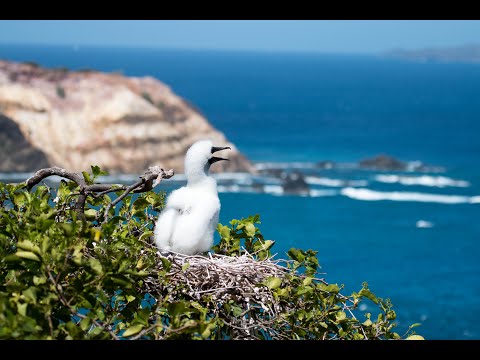
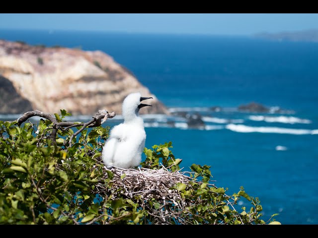
During field visits to the Pillories and Battowia Island, teams used drones to capture imagery that maps vegetation, tracks habitat changes, and reveals early signs of threats. These islands are difficult to survey on foot, so aerial monitoring allows reliable data collection while reducing disturbance to nesting birds.
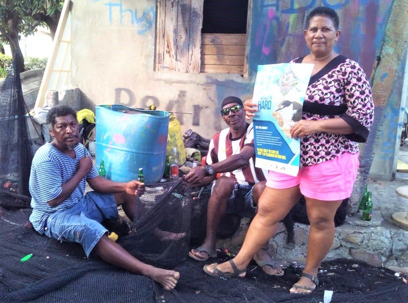
This work highlights the importance of science in protecting seabird colonies. By using data to understand nesting conditions and detect risks such as invasive predators or environmental changes, the Seabird Guardians can make informed decisions about where protection efforts are needed most. Combining community stewardship with scientific monitoring is helping to improve protection for some of the Caribbean’s most vulnerable seabird nesting sites.
This monitoring effort is supported through collaborative funding and partnerships that strengthen science-based seabird conservation in the Grenadines.
Links:
Project reports on GlobalGiving are posted directly to globalgiving.org by Project Leaders as they are completed, generally every 3-4 months. To protect the integrity of these documents, GlobalGiving does not alter them; therefore you may find some language or formatting issues.
If you donate to this project or have donated to this project, you can receive an email when this project posts a report. You can also subscribe for reports without donating.
Support this important cause by creating a personalized fundraising page.
Start a Fundraiser