By Rebecca Bossen | Communications Director
Participatory mapping is underway in Lingomo, Nkokolombo, and Likongo! Obtaining accurate maps is a critical step on the road to achieving official protection.
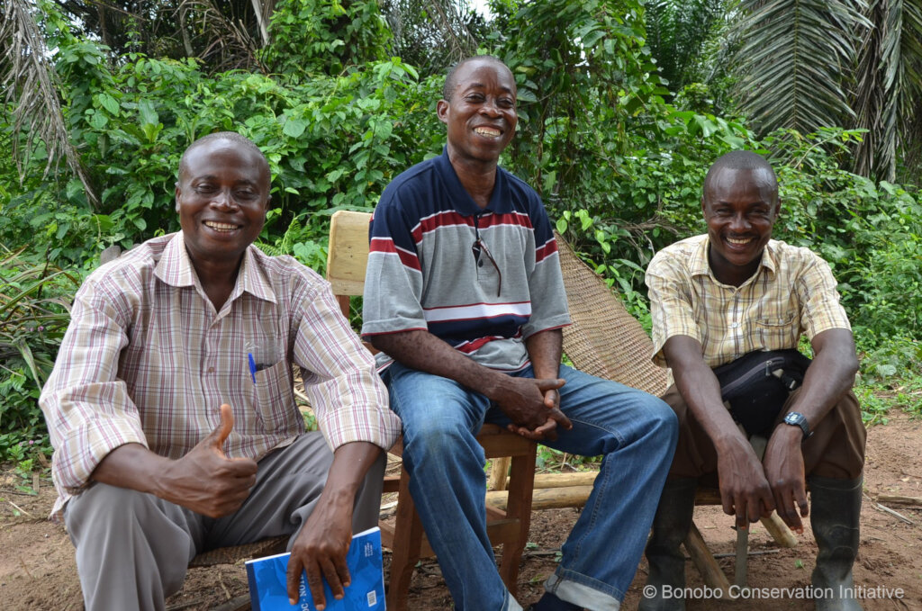
Inspired by the Kokolopori Bonobo Reserve, local leaders in these sites formed their own NGOs and have been diligently taking steps to protect their own forests using the Bonobo Peace Forest model. Cosmas in Lingomo (Conservation of the Resources of Lingomo), Roger in Nkokolombo (Association for Conservation of Bonobos in the Source of Lomako), and Jean Gaston in Likongo (Début Likongo for Conservation and Development) work together with such tireless dedication that they are called the Three Musketeers!
The three forests of Lingomo, Nkokolombo, and Likongo are actually part of one continuous forest, known as LiLiKo for short. The BCI motto for the region is “mboka misato, zamba moko,” which means “three communities, one forest.” LiLiKo spans approximately 700,000 acres and includes large tracts of intact primary forest. It harbors incredible biodiversity, including bonobos, giant ground pangolins, and Wolf’s monkeys. Protecting this forest is a boon to these species and to all of us who rely on the Congo rainforest for clean air, carbon sequestration, and more.
Mapping LiLiKo forest is important for practical reasons like understanding the terrain, zoning, and organizing monitoring teams, and it’s essential for gaining official protection status. It has often been the case that conservation maps have been drawn by outsiders without sufficient input from communities, meaning that the maps do not align with the real-world use of the land. Participatory mapping means that local people take the lead in determining the boundaries of their own forest. It is a labor-intensive process, but it is a worthwhile effort to ensure that community voices are represented and customary land rights are respected.
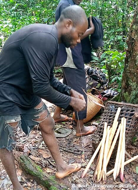
The mapping process begins with our team members walking the approximate boundary of the forest. Along the way, they verify the traditional borders with villagers from neighboring communities. Often, boundaries are demarcated by significant natural features like trees, large rocks, or streams. Waypoints are determined with handheld GPS units. Then, our team members assemble the information and take it to a mapping agency in Kisangani where the maps are produced and printed.
A large portion of the participatory mapping has been completed–and in the process, additional groupements (village groupings) have expressed their interest in being included as well! This means that the LiLiKo forest block may be larger than we had anticipated. We urgently need to keep the teams going so that they can move forward in securing official protection of their forests.
Please support Cosmas, Roger, Jean Gaston, and their teams as they complete the LiLiKo mapping! They need equipment such as sturdy boots, ponchos, machetes, headlamps, and batteries in order to continue this vital effort. Thank you for all you do to make our work possible!
Project reports on GlobalGiving are posted directly to globalgiving.org by Project Leaders as they are completed, generally every 3-4 months. To protect the integrity of these documents, GlobalGiving does not alter them; therefore you may find some language or formatting issues.
If you donate to this project or have donated to this project, you can receive an email when this project posts a report. You can also subscribe for reports without donating.
Support this important cause by creating a personalized fundraising page.
Start a Fundraiser
