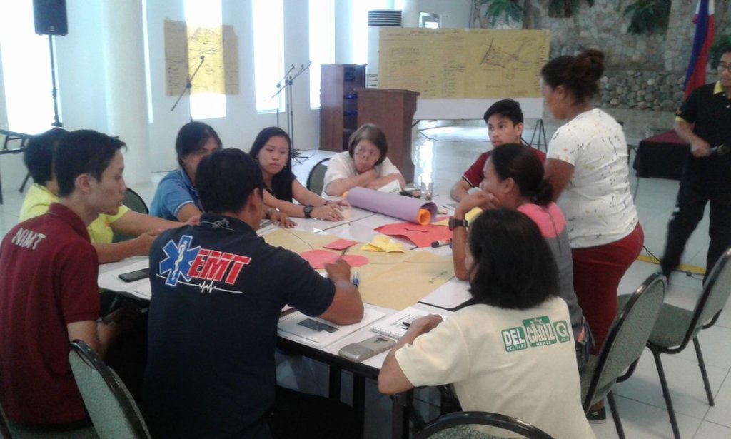
By Maria Carmen S. Apuli | ResMob Coordinator
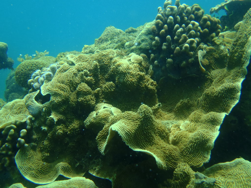
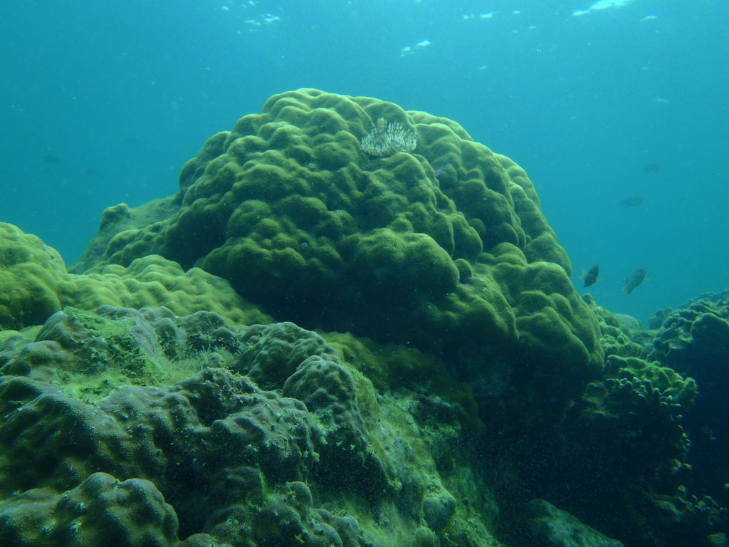
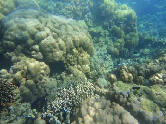
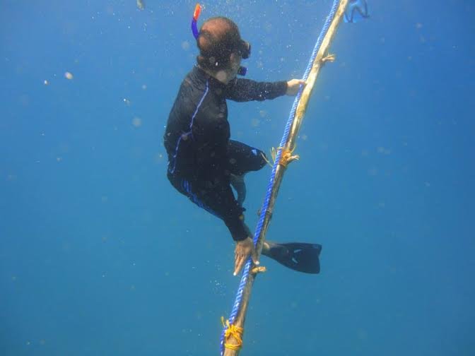
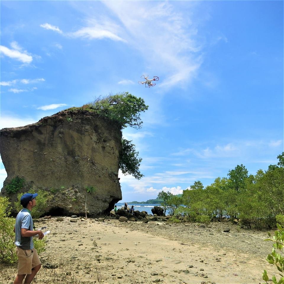
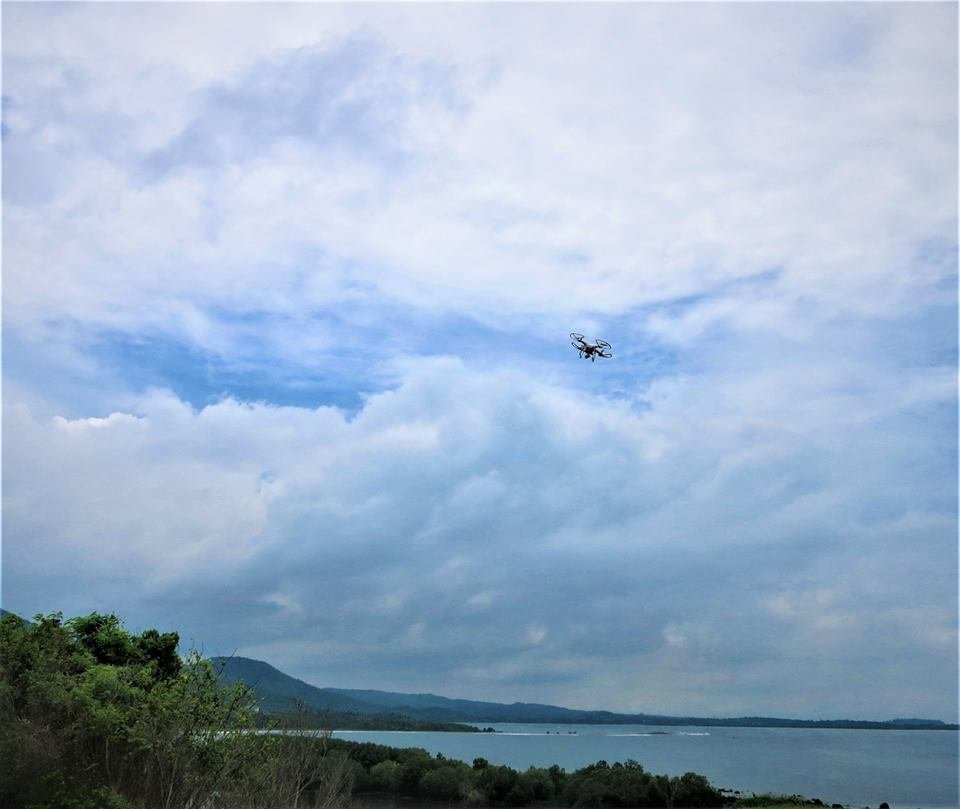
Drones to assist in Mapping Mangroves Planted in Talim Bay There is increasing attention of focusing on enhancing processes through technology such as the use of remote sensing applications not only in businesses but in other areas such as forestry and sales, among others. These remote sensing applications includes the drones that are now being used for purposes outside the military. These small controlled mini-aircrafts with cameras have been useful for journalists, sports photographers and property managers as an alternative to expensive helicopters for aerial photos and video. These small unmanned aircraft system are also being maximized to study weather systems and ecosystems. What is interesting is even farmers can utilize drones to fertilize their crops or even our fishers can make use of the drone to map the mangrove area, or in the case of Talim bay, monitor the extent of mangrove reforestation initiative undertaken by Lian Fisherfolk Association, Inc. (LFA) in collaboration with LGU-Lian and DLSU-COSCA.
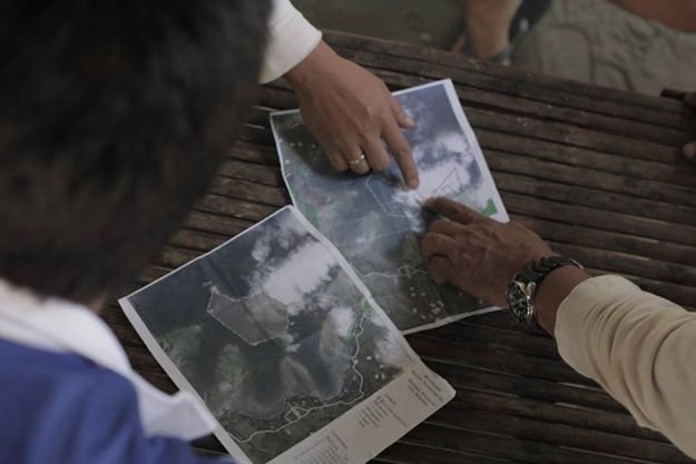
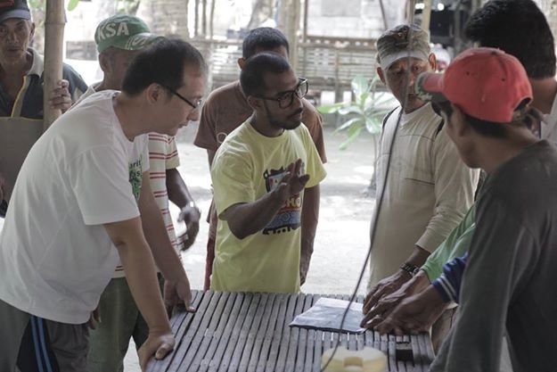
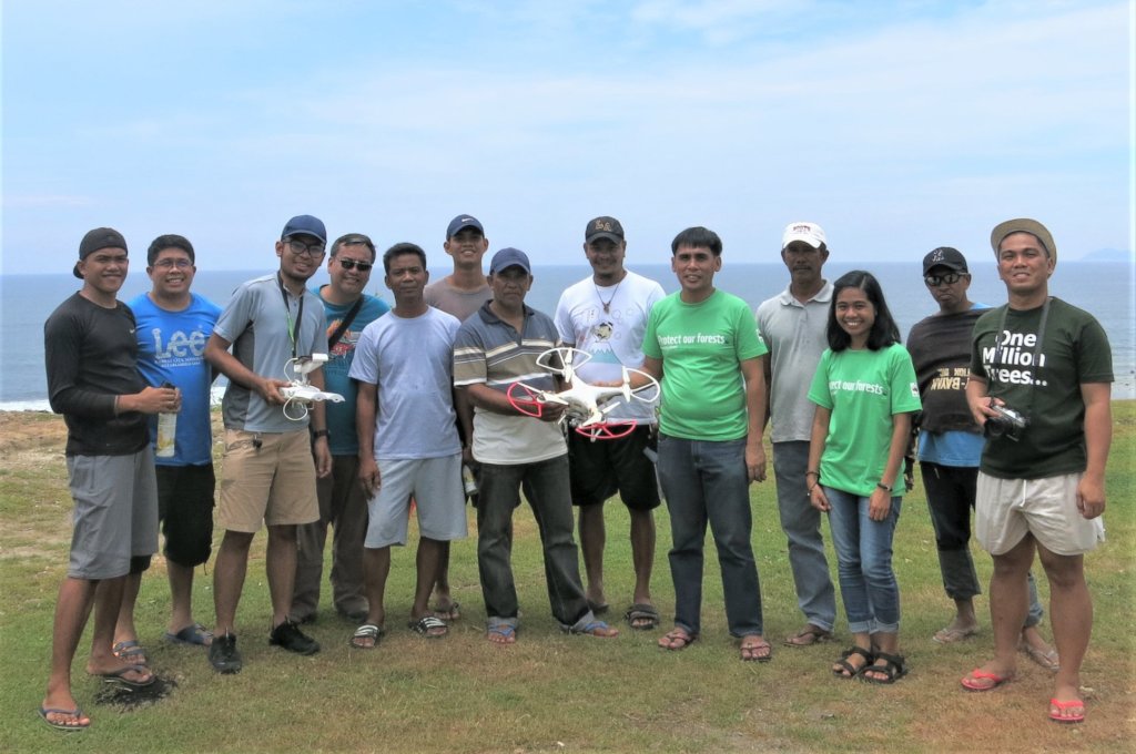
Efforts to integrate reforestation mapping applications of drone remote sensing started off with representatives from COSCA’s Partnership and Network Development (PNDP) and Lasallian Sustainable Development Programs (LSDP) joining DLSP- Lasallian Institute for the Environment-led mapping of its “One Million Trees and Beyond (OMTB)” planting sites in Batangas last September 1, 2018.
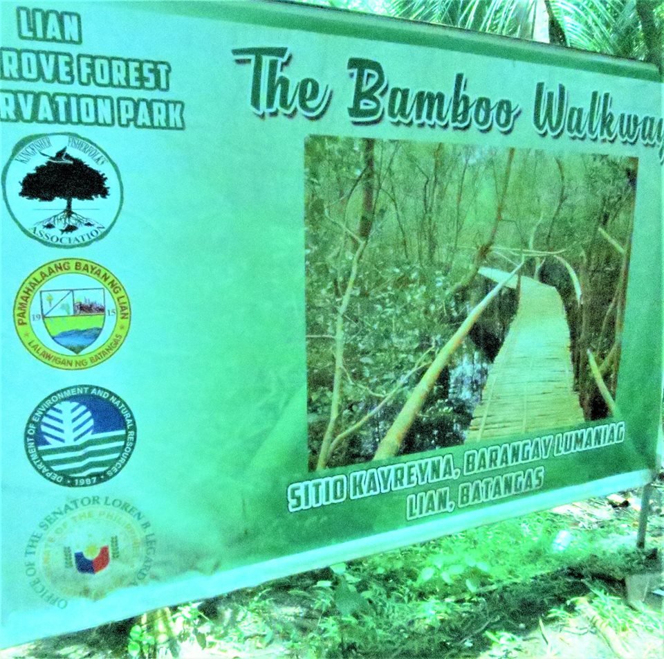
If the use of this technology will help facilitate LFA’s and LGU Lian’s mangrove forest management in Talim bay more so, reduce monitoring costs while getting high intensity data set and lessen if not totally avoid risk to our local fishers who, on a regular basis would check on mangroves planted by students, faculty and other advocates then utilizing these drones is noteworthy. The September 1, 2018 mapping initiated in Talim bay hopes to assist stakeholders in monitoring progress and visualize through drone video-documentation the impact of the years of planting in mangrove sites particularly in Barangay Lumaniag, Lian, Batangas. The mapping was undertaken in close coordination with the people’s organization and with the formal leaders of the Barangay.
By Maria Carmen S. Apuli | Resource Mobilization Coordinator
By Maria Carmen S. Apuli | Resource Mobilization Coordinator
Project reports on GlobalGiving are posted directly to globalgiving.org by Project Leaders as they are completed, generally every 3-4 months. To protect the integrity of these documents, GlobalGiving does not alter them; therefore you may find some language or formatting issues.
If you donate to this project or have donated to this project, you can receive an email when this project posts a report. You can also subscribe for reports without donating.
Support this important cause by creating a personalized fundraising page.
Start a Fundraiser