By Vidal Rondan | Project Leader
Dear Donors,
Our "Restoration of Ancestral Water Management Technologies" – RETAMA project, proposes to intervene in seven high Andean communities, which possess ancient water management infrastructures and ancestral uses and customs. These communities are located as follows: two in Ancash and five in the highlands of Lima.
Instituto de Montaña has been implementing this project as a facilitator of the participatory and continuous learning process to ensure that the problems and solutions are owned by these communities according to their needs and realities.
It is also important to mention that in the last months of the year, in the Andean areas where the project intervenes, there have been heavy rains that have generated landslides, floods, and mudslides, which have interrupted access to the towns in the Peruvian highlands.
In this context, it is worth mentioning that the previous reports III, IV, and this one (V) have focused on carrying out diagnoses in ancestral water management infrastructures so that in the following months, under a work schedule coordinated with each community, rehabilitation, and improvement works of ancestral works can be implemented and thus, in the dry season, the peasant communities can have irrigation canals working to irrigate their crops. The farming communities that have gathered information to date are the Pamparomas and Tupac Yupanqui communities in the Ancash region and the Miraflores community in the Lima region.
This report presents the main findings of the Tupac Yupanqui Campesino Community in the Ancash region.
1. An ancestral irrigation canal, dam, and/or dike has been restored using indigenous knowledge and technology to ensure water supply by compensating for glacier loss.
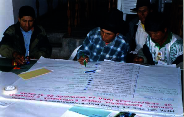
Since the purpose of the project is to support community responses to glacier loss as a result of climate change, during this work period we have begun gathering information on ancestral water management infrastructure with the leaders and citizens of the Tupac Yupanqui Campesino Community and the Ishinka Irrigation Board. For this purpose, field visits, interviews, and participatory mapping have been carried out with women and men leaders of the community.
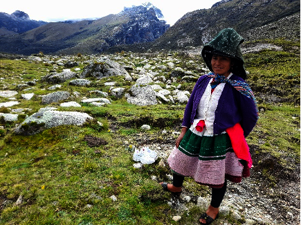
The Tupac Yupanqui Campesino Community is one of the communities belonging to the Huascarán Biosphere Reserve, located in the Department of Ancash, province, and district of Huaraz. The Tupac Yupanqui Community has 14 sectors and 700 community members.
The Ishinka Irrigation Board has 180 members and its territory is part of the Ishinka Creek, Paltay sub-basin and is part of the Huascarán National Park protected natural area. This committee has a board of directors and is part of the rural community, who live in harmony with their respective customs and traditions and develop their economic activities harmoniously, such as agriculture, livestock, and tourism.
As a result of this participatory work, important natural water sources and ancestral works have been identified and are described below.
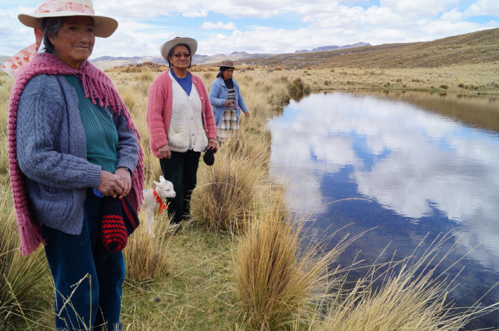
The main sources of water in the community are the snow-capped mountains and high Andean lagoons that then descend through watercourses such as Ishinka Creek. To a lesser extent, some springs that provide water during the rainy months and a few months after rainfall are used.
Irrigation canals: There are about 7 irrigation canals that are constituted as irrigation blocks, which lead the liquid element to the cement plants or agricultural properties of the members of the irrigation board.
2. Local ancestral knowledge on water management and its revaluation as a cost-effective and nature-based adaptation of the mountains to climate change.
In this specific objective, a collective reflection on the importance of ancestral technologies for channeling water and especially for the use of water for irrigation of Andean pastures and crops has been carried out. Below we share some key ideas from the collective reflection:
They value the knowledge and management of water. 30 years ago, there was much respect for the rivers and ojos de agua, the water was kept clean. Due to climate variability and change, the amount of water is decreasing and this in turn generates conflict in its distribution.
Main economic activities
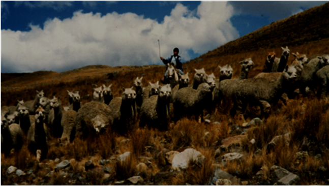
The community's main economic activities are agriculture, livestock, and tourism. Agricultural production is mainly for self-consumption.
At altitudes below 3,800 masl, the community members grow various Andean crops such as potatoes, oca, beans, corn, and in some plots, cultivated pastures.
Cattle enter the ravine using the same route used by tourist activity and are found in pasture areas of the ravine, mostly cattle and alpacas.
The Ishinca Creek encloses one of the most beautiful accessible and diverse mountain areas in the world and is one of the most traveled hiking routes. The tourist flow in this is constant throughout the year and increases markedly in the months of July to October. The service of porters is offered for tourism.
It is these communal livelihoods that have links to the water where the ancestral canal technologies described above have been located.
The next step in this work will be the rehabilitation of the canal through communal work and putting it into operation for irrigation of agricultural activity and natural pastures.
Project reports on GlobalGiving are posted directly to globalgiving.org by Project Leaders as they are completed, generally every 3-4 months. To protect the integrity of these documents, GlobalGiving does not alter them; therefore you may find some language or formatting issues.
If you donate to this project or have donated to this project, you can receive an email when this project posts a report. You can also subscribe for reports without donating.
Support this important cause by creating a personalized fundraising page.
Start a Fundraiser