The Iracambi GIS, based at the Iracambi Research Center in one of the worlds top biodiversity hotspots, Brazil's Atlantic Forest, seeks to present data and generate maps that are easily accessible and understandable to local communities, students and farm families. Our aim is to clearly demonstrate the changes that are taking place due to human impact on the ecosystem, with their effects on climate and resource management, as part of our educational program and as a tool for land management.
Iracambi Research Center is located in one of the world's top biodiversity hotspots, Brazil's Atlantic Forest. Our forests shelter many endangered species, including the largest population of the most endangered primate in the Americas - the muriqui. He has now been shortlisted as mascot for the 2016 Olympics, and we plan to use this opportunity to encourage local students and their families to work together to protect the forests, increase habitat, and conserve soils and water.
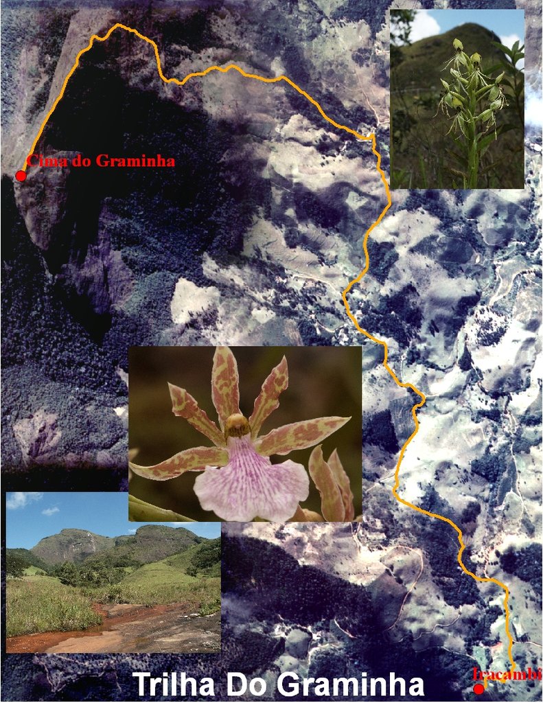
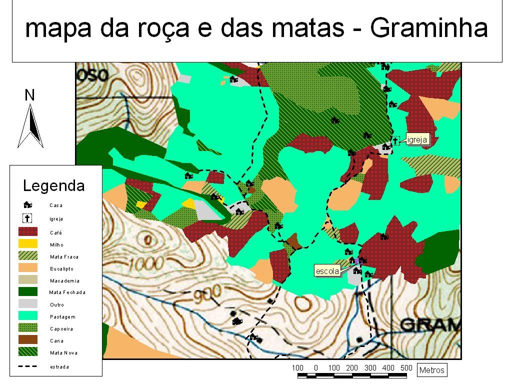
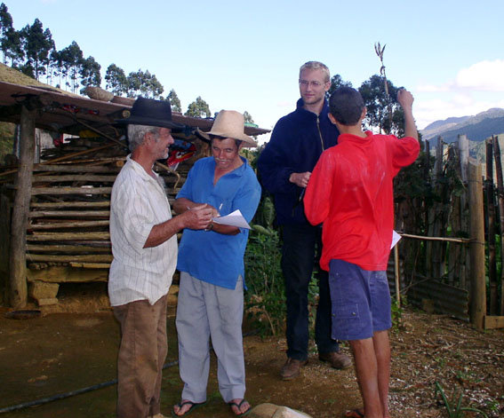
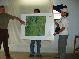
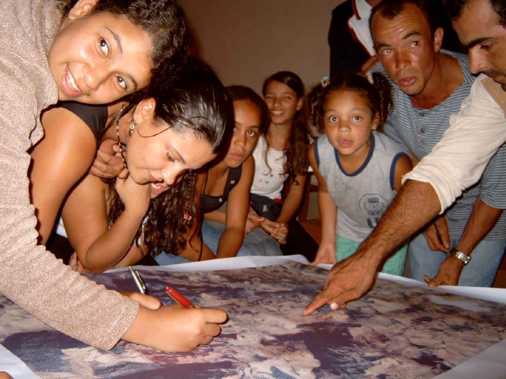
The Iracambi Research Center has a body of data on forest cover, species inventories, water quality and quantity, which we make available to the public through maps generated by our GIS. In this isolated area, these maps are eagerly received by a rural population that is more comfortable with images than words. It's part of an integrated program of sustainable resource management and ecosystem studies, aimed at helping communities value the forests and the services which they provide for us all.
One of our programs focuses on Payment for Environmental Services, whereby farmers have access to cash payments in exchange for good conservation practices: preserving forests round springs and on stream banks, and reforesting steep slopes to contain erosion. Now that economic incentives are available, farmers are eager to join the scheme and GIS is a tool that will help them decide priority areas to plant, so as to protect water and soils, and access additional income.